1 day Introduction to QGIS

This 8-hour workshop is designed to introduce you to QGIS 3.x, an alternative open source GIS software for viewing, editing, and managing spatial data in a wide variety of commonly used vector and raster formats. It is lightweight, flexible, and can be installed on Windows, MacOSX, and Linux. Best of all, most will find QGIS […]

375CAD

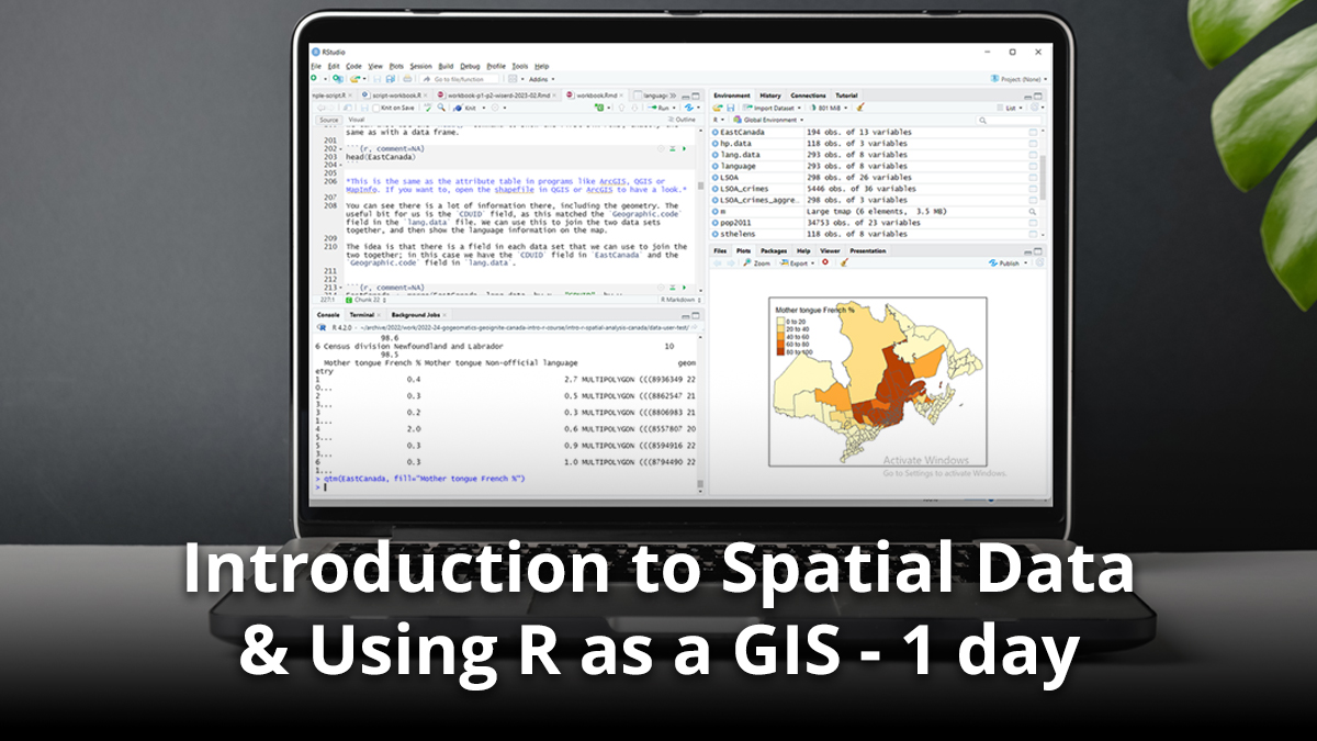
Introduction to Spatial Data & Using R as a GIS – 1 day

In this one day course we will explore how to use R to import, manage and process spatial data. We will also cover the process of making choropleth maps, as well as some basic spatial analysis. Finally, we will cover the use of loops to make multiple maps quickly and easily, one of the major […]

375CAD

GeoTech Rapid: QGIS Basics (Installation and Project Setup)

Software and plugins needed: QGIS / Semi-Automatic Classification and Whitebox Tools Datasets: Canvec series datasets Description of learning outcome: Learn how to install QGIS plugins, setup a QGIS project using the properties menu option. Define a coordinate system and re-project datasets. Trainer: Eric Purdie EBP Geospatial Consulting Inc. Teaching Assistant

150CAD

GeoTech Express QGIS: Fortress of Louisbourg, Geo-rectification and Publishing

Software and plugins needed: QGIS and Google Earth Pro Datasets: Canvec series datasets, HRDEM (DSM) and Google Earth Pro Image Description of learning outcome: Learn how to save a satellite image of the Fortress of Louisbourg, Nova Scotia, in Google Earth Pro and Georeference it using the QGIS Georeferencer tool. Trainer: Eric Purdie EBP Geospatial […]

150CAD

GeoTech Intermediate QGIS: Halifax, Supervised Classification and Change Detection Analysis

Software and plugins needed: QGIS / Semi-Automatic Classification Datasets: Canvec series, and Landsat 7 1999 – 2003 orthorectified datasets Description of learning outcome: Learn how to classify and extract different land forms (e.g., water, land, roads etc.) of Halifax, Nova Scotia, using the Semi-Automatic Classification Plugin. Trainer: Eric PurdieEBP Geospatial Consulting Inc.Teaching Assistant

150CAD

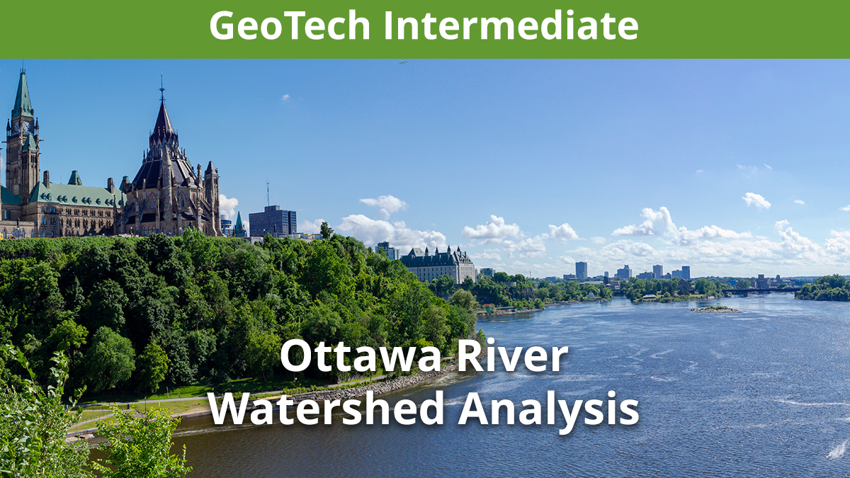
GeoTech Intermediate QGIS: Ottawa River, Watershed Analysis

Software and plugins needed: QGIS, SAGAGIS / Whitebox Tools Datasets: Canvec series, Landsat, Orthoimages of Canada, 2005 – 2010, and SRTM DEM datasets. Description of learning outcome: Learn how to perform an Ottawa River Watershed Analysis using an SRTM DEM, Whitebox Tools, Raster Calculator and QGIS 3D Map Viewer. Trainer: Eric Purdie EBP Geospatial Consulting Inc. […]

150CAD

GeoTech Advanced QGIS: Ground Subsidence Analysis (Study area to be determined)

Software and plugins needed: QGIS and ESA SNAP Datasets: Canvec series, BC open data, and RADARSAT – 1 / Sentinel 1 datasets. Description of learning outcome: learn how to perform a ground subsidence analysis of abondoned mining tunnels in BC to determine impacts on residential areas. Trainer: Eric PurdieEBP Geospatial Consulting Inc.Teaching Assistant

150CAD

GeoTech Advanced QGIS: St. Lawrence, River and Flood Analysis

Software and plugins needed: QGIS / Whitebox Tools Datasets: Canvec series, Landsat, DTM, DSM datasets Description of learning outcome: Learn how to perform a River and Flood Analysis of the Montreal, St. Lawrence River using SAGAGIS and QGIS toolsets to determine residential areas affected by flooding. Trainer: Eric PurdieEBP Geospatial Consulting Inc.Teaching Assistant

150CAD

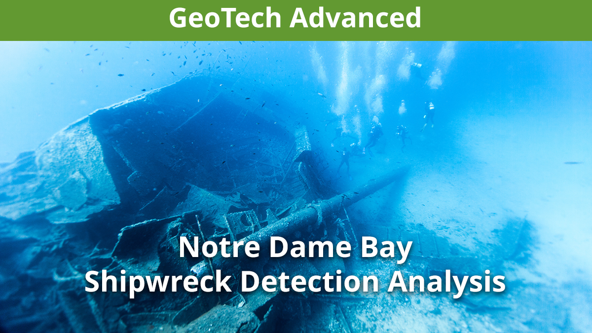
GeoTech Advanced QGIS: Notre Dame Bay Shipwreck Detection Analysis

Software and plugins needed: QGIS, ESA SNAP / Whitebox Tools Datasets: Canvec series, Bathymetry BAG, and Sentinel 2 datasets Description of learning outcome: Learn how to analyze bathymetry datasets of Notre Dame Bay, Newfoundland to detect and display underwater shipwrecks using QGIS. Trainer: Eric PurdieEBP Geospatial Consulting Inc.Teaching Assistant

150CAD

Best Practices for GIS Project Planning and Management

This workshop cuts through the theory and fluff to present, in practical terms, the essential practices for successful GIS project planning and management. Its intent is to provide project managers, teams, and stakeholders with the key actions methods, and tools to launch and execute successful projects—delivering results on time and on budget providing valuable deliverables […]

350CAD

GIS & Geospatial Job Seekers Career Seminar

Finding a job in geospatial technology can be difficult. That’s why GoGeomatics Canada is bringing back our popular Career Seminar to give job seekers the tools and techniques that will put them ahead in their job search. This online “Zoom” half-day career seminar is designed to give new and seasoned geomatics professionals the tools they […]

125CAD